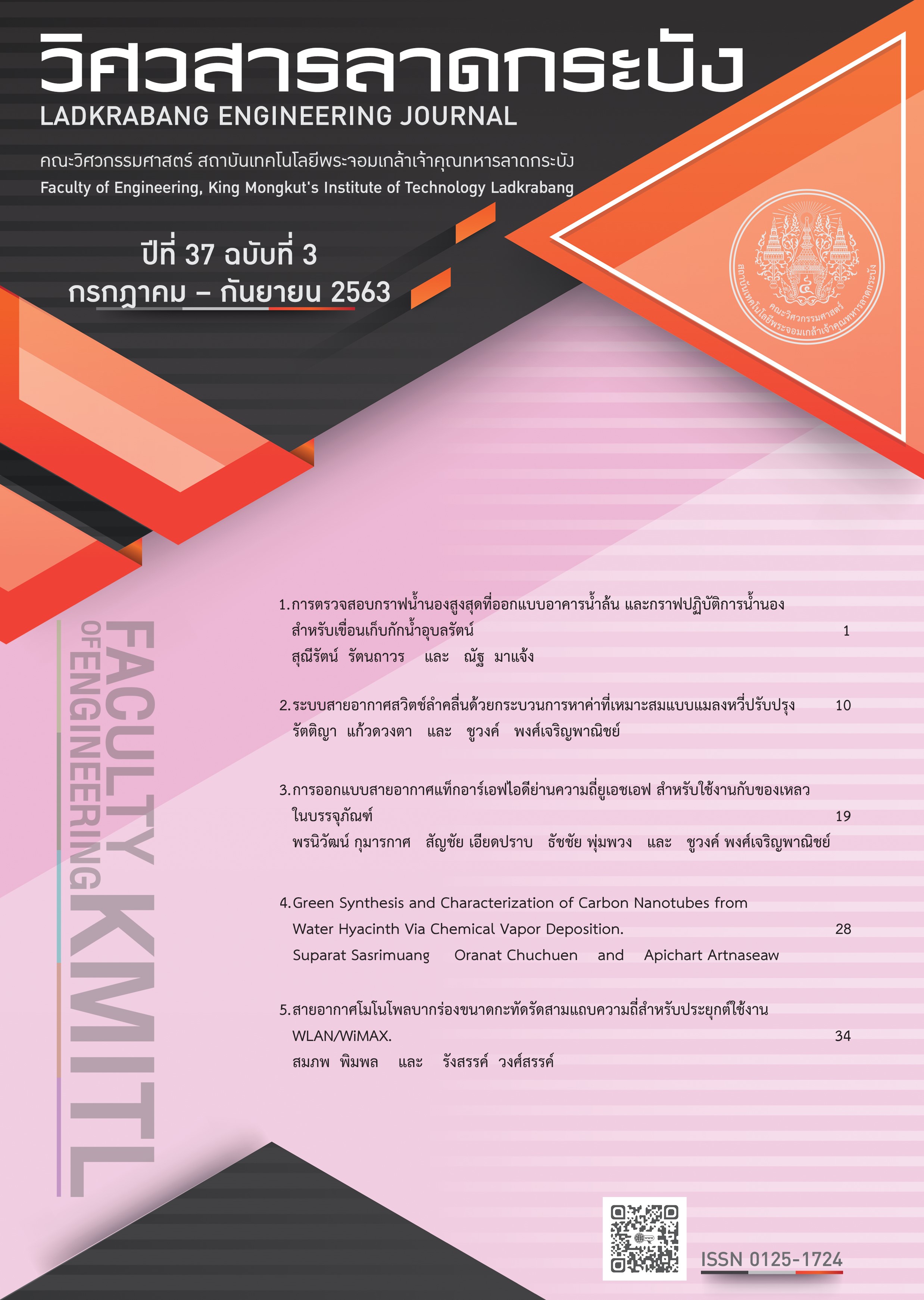
Investigation of Spillway Design Flood Hydrographs and Flood Operation Rule Curve for Ubol Ratana Storage Dam
Keywords:
Flood Hydrographs, Flood Operation Rule Curve, Ubol Ratana Storage DamAbstract
Ubol Ratana storage dam was constructed on Pong River in 1966. The dam crest was increasted due to
the massive floods in 1987. Due to the limitation of the meteorological and hydrological previously used for the dam design and also the dam was constructed over 50 years, the factors used in spillway design flood hydrographs should be changed such as the present land use compared with those before dam construction and weather. Therefore, the spillway design flood hydrographs as well as existing flood operation rule curves for the dam should be investigated by using such updated data and information. The results of reservoir routing for the maximum water level at Ubol Ratana storage dam study is +183.50 m.(MSL.) because It is controlled by the height of Noonsang Dike located at the upstream area. The results of flood routing at return period 2-200 years show that the existing controlling of spillway gates is enough to manage the flood hydrographs. For the flood hydrographs at return period 500-10,000 years with the initial water level at the spillway crest, +182.00 m.(MSL.), and start to release water when the water level exceeds +182.00 m.(MSL.),
the results revealed that the peak of water level in the reservoir are higher than the maximum storage level. Therefore, the flood hydrograph at return period 500 years must start to release water in flood season at the minimum reservoir water level +180.50 m.(MSL.) The opening of spillway gates at the level of +180.50 to +183.50 m.(MSL.) will be controlled to open with the ratio d/Dh equal to 4. For the return period 1,000 years. It must start to release water in flood season at the minimum reservoir water level equal to +180.00 m.(MSL.) and start to release water when the water level exceeds +181.50 m.(MSL.) The opening of spillway gates at the level of +180.00 to +183.50 m.(MSL.) will be controlled to open with the ratio d/Dh equal to 5. For the return period 10,000 years. It must start to release water in flood season at the minimum reservoir water level equal to +177.00 m.(MSL.) and start to release water when the water level exceeds +180.50 m.(MSL.) The opening of spillway gates at the level of +177.00 to +183.50 m.(MSL.) will be controlled to open with the ratio d/Dh equal to 2 and the Noonsang dike crest must be installed a barrier height of 1.20 meters
References
N. Marjang, Investigation of spillway design flood hydrographs and flood operation rule curve for Sirikit storage dam, M. Eng. Thesis, Kasetsart University. Bangkok. Graduate School, 1999.
T. Jaitrong, Flood. Forecasting in Ubol Ratana Reservoir by Artificial Neural Network for Flood Management, M. Eng. Thesis, Kasetsart University. Bangkok. Graduate School, 2005.
V. Taesombut, Hydrology, Department of water resources engineering Kasetsartuniversity, Bangkok, 1985.
V. Taesombut, Applied Hydrology, Department of water resources engineering Kasetsart university, Bangkok, 1988.
Royal Irrigation Department, Rainfall Intensity-Duration-Frequency curve and Distribution of maximum rainfall for 24 hours the north east of Thailand, Office of water management and Hydrology royal irrigation department, Bangkok, 2001.
Royal Irrigation Department, Unit hydrograph of river basin in Thailand, Hydrology division Office of water management and hydrology Royal irrigation department, Bangkok, 2009.
T. H. Illangasekare, Synthetic unit hydrograph for regions with inadequate hydrologic data., M. Eng. Thesis, Asian Institution of Thailand., 1974.
C. Komsatra, Flood hydrograph from small watershed., M. Eng. Thesis, Asian Institution of Thailand, 1969.
Downloads
Published
How to Cite
Issue
Section
License
Copyright (c) 2020 Faculty of Engineering, King Mongkut’s Institute of Technology Ladkrabang

This work is licensed under a Creative Commons Attribution-NonCommercial-NoDerivatives 4.0 International License.
The published articles are copyrighted by the School of Engineering, King Mongkut's Institute of Technology Ladkrabang.
The statements contained in each article in this academic journal are the personal opinions of each author and are not related to King Mongkut's Institute of Technology Ladkrabang and other faculty members in the institute.
Responsibility for all elements of each article belongs to each author; If there are any mistakes, each author is solely responsible for his own articles.


