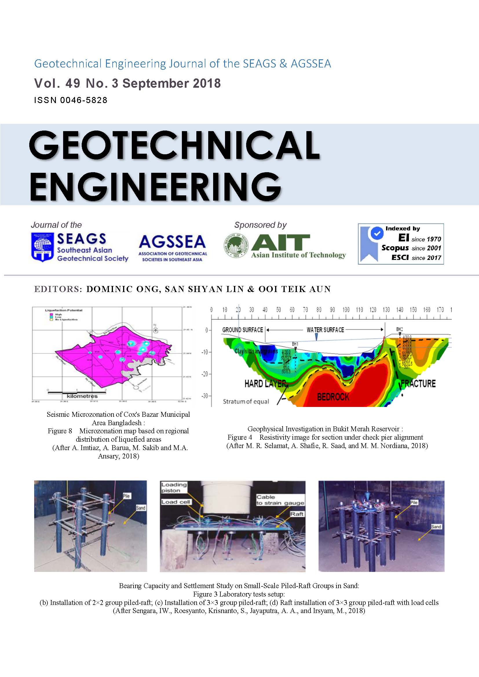
Seismic Microzonation of Cox’s Bazar Municipal Area Bangladesh
Main Article Content
Abstract
Cox’s Bazar municipal area runs a high risk of earthquake exposure due to geologic and tectonic structures. As a part of adopting earthquake mitigation approaches for the region, a seismic microzonation map was developed on the basis of potential of earthquake occurrences and ground susceptibility to earthquake. For microzonation purposes, a total of 26 borelogs were used to study site amplification as well as soil liquefaction potential of the municipality area. Site responses were estimated through one dimensional wave propagation software SHAKE. The liquefaction potential was evaluated using two simplified procedures, proposed by Seed et al. (1983) and Iwasaki et al. (1986) to measure whether the site is liquefiable or non-liquefiable. For slope stability analysis, XSTABL programme was used which performs two dimensional limit equilibrium analyses to evaluate the factor of safety for a layered slope using the simplified Bishop Method. These results were transformed into a map which will serve as a general guide to ground-failure susceptibility, effective land use, and efficient town-planning.
Article Details

This work is licensed under a Creative Commons Attribution-NonCommercial-NoDerivatives 4.0 International License.
Copyright © 2019 Association of Geotechnical Societies in Southeast Asia (AGSSEA) - Southeast Asian Geotechnical Society (SEAGS).


