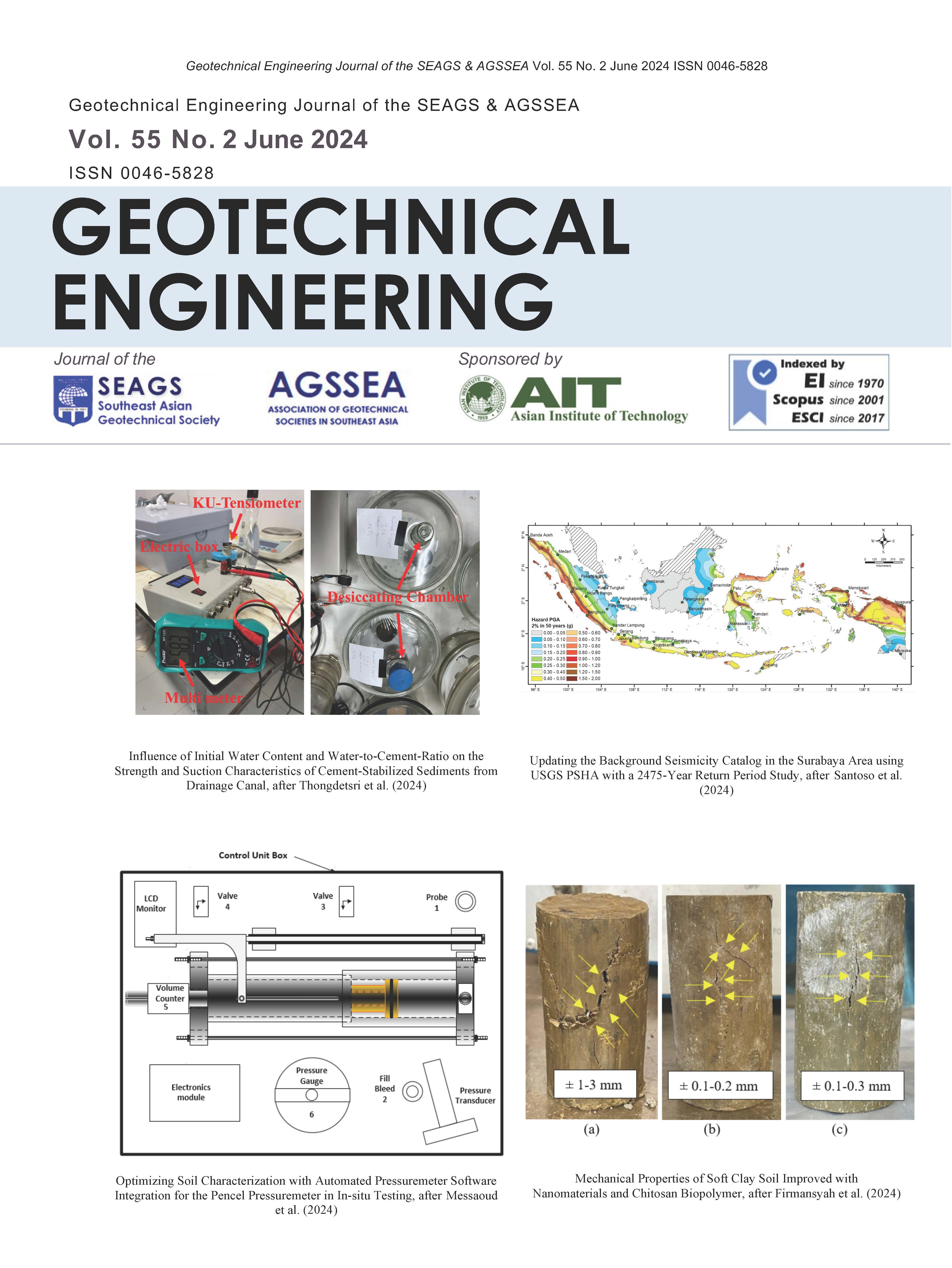
Updating the Background Seismicity Catalog in the Surabaya Area using USGS PSHA with a 2475-Year Return Period Study Hazard map in Surabaya City
Main Article Content
Abstract
Seismic analysis is very important along with the development as well as the spatial and territorial layout of an area. However, unfortunately, the development of Indonesia's latest national earthquake hazard map still uses the 2017 earthquake database, not yet the latest seismic hazard catalog. This study presents an analysis using a new Probabilistic Seismic Hazard (PSHA) in the Java region, especially Surabaya, which is contains a very complex tectonic region. The Probablistic Seismic Hazard Analysis (PSHA) includes active faults, megathrust and intraplate subduction, as well as an updated background earthquake source database and attenuation equation. The logic tree method was used to quantify the epistemic uncertainty of the source parameter components. This research calculates the bedrock Peak Ground Acceleration (PGA) with a 2475-year return period for the greater Surabaya area, which has the greatest concentrations of population and business in East Java. The analysis shows the seismic hazard is dominated by the background source in the Surabaya area. The result of this study may be useful for updating the hazard map and attracting the interest of researchers to conduct research related to seismic hazards, especially in the Surabaya area.
Article Details
How to Cite
Wahid Santoso, P. (2024). Updating the Background Seismicity Catalog in the Surabaya Area using USGS PSHA with a 2475-Year Return Period Study: Hazard map in Surabaya City. Geotechnical Engineering Journal of the SEAGS & AGSSEA, 55(2), 10–17. https://doi.org/10.14456/seagj.2024.10
Section
Research Papers

This work is licensed under a Creative Commons Attribution-NonCommercial-NoDerivatives 4.0 International License.
Copyright © 2019 Association of Geotechnical Societies in Southeast Asia (AGSSEA) - Southeast Asian Geotechnical Society (SEAGS).


