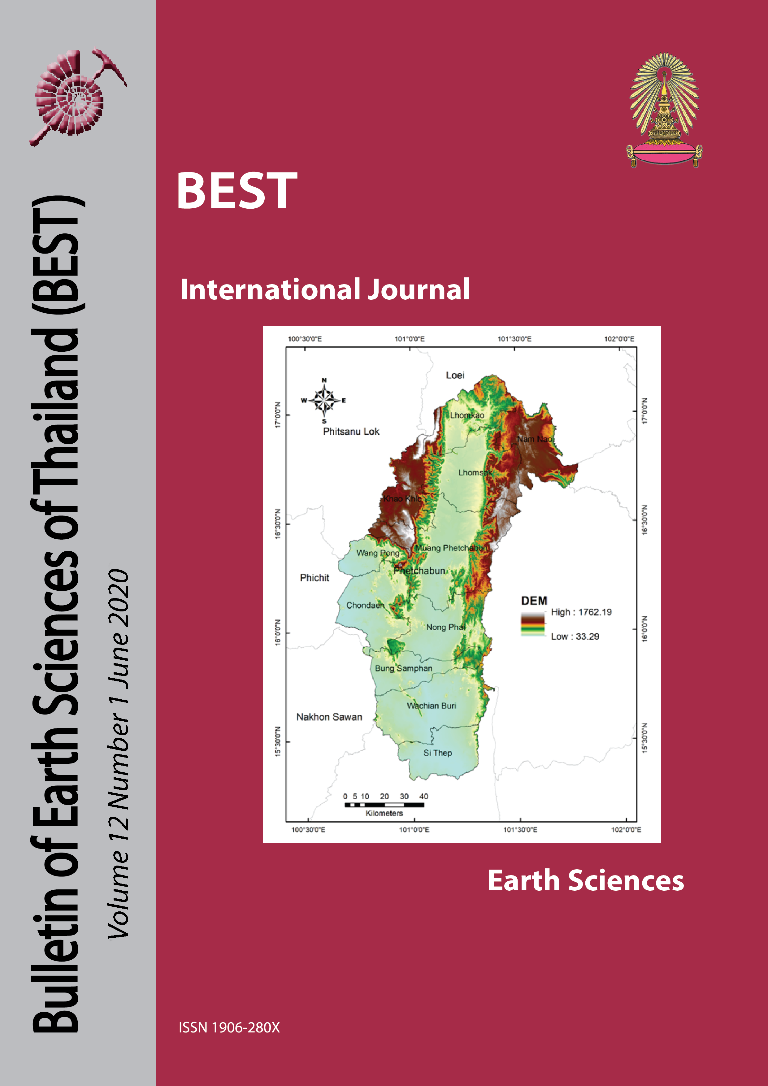
DEM and GIS analysis of geomorphic indices for evaluating tectonic activity of Phetchabun province
Main Article Content
Abstract
Phetchabun province, central Thailand is vulnerable to various geohazards, with the potential for significant harm to people and property. Phetchabun province has many lineaments that is a source of tectonic activities. In this study, terrain analysis techniques are used in order to determine geomorphic indices related to tectonic activity. we evaluate active tectonics using 30 meters resolution Digital Elevation Model (DEM) data, and a total of 38 drainage basins were extracted using ArcGIS software. we derived drainage network and geomorphic indices: stream-length gradient (SL), mountain front sinuosity (Smf), hypsometric integral (HI), hypsometric curve (HC), basin shape index (Bs). According to the result, the SL index is calculated in percentage on stream which selected 90 to 100 percentage to represent anomalous values. The Smf index computed for 207 lineaments. Most of lineaments has been supported the low active tectonics of the area. The HI values changes between 0.06 to 1.00. High value of HI indicates less impact from tectonic activity which has been found in the western and southern of the study area, The HC has 3 classes; results show most drainage basins in concave curves. The high value of Bs found in most drainage basins that are related to high tectonic activity. Additionally, the geomorphic indices are significantly affected by lithology especially sedimentary rocks that most found in the study area and structure geology.
Article Details

This work is licensed under a Creative Commons Attribution-NonCommercial-NoDerivatives 4.0 International License.
Copyright © 2008 Department of Geology, Faculty of Science, Chulalongkorn University. Parts of an article can be photocopied or reproduced without prior written permission from the author(s), but due acknowledgments should be stated or cited accordingly.
References
Bishop, P., Shroder, F., Bonk, R., and Olsenholler, J., 2002, Geomorphic change in high mountains: a western Himalayan perspective, Global and Planetary Change 32(4): 311-329.
Bishop, P., Shroder, F., and Colby, D., 2003, Remote sensing and geomorphometry for studying relief production in high mountains, Geomorphology 55(1): 345-361.
Brookfield, E., 1998, The evolution of the great river systems of southern Asia during the Cenozoic India-Asia collision: rivers draining southwards, Geomorphology 22(3): 285-312.
Chen, Y., Sung, Q., and Cheng, K., 2003, Along-strike variations of morphotectonic features in the Western Foothills of Taiwan: tectonic implications based on stream-gradient and hypsometric analysis, Geomorphology 56(1): 109-137.
Cheng, W., Wang, N., Zhao, M., and Zhao, S., 2016, Relative tectonics and debris flow hazards in the Beijing mountain area from DEM-derived geomorphic indices and drainage analysis, Geomorphology 257: 134-142.
Dehbozorgi, M., Pourkermani, M., Arian, M., Matkan, A., Motamedi, H., Hosseiniasl, A., Sq, P., ahmari tehran, H., and Iran, 2010, Quantitative analysis of relative tectonic activity in the Sarvestan area, central Zagros, Iran, Geomorphology 121
El Hamdouni, R., Irigaray, C., Fernández, T., Chacón, J., and Keller, E. A., 2008, Assessment of relative active tectonics, southwest border of the Sierra Nevada (southern Spain), Geomorphology 96(1): 150-173.
Giaconia, F., Booth-Rea, G., Martínez-Martínez, J., Azañón, J., Pérez-Peña, J., Pérez-Romero, J., and Villegas, I., 2012, Geomorphic evidence of active tectonics in the Sierra Alhamilla (eastern Betics, SE Spain), Geomorphology 145-146: 90-106.
Hack, J., 1973, Stream-profile analysis and stream-gradient index, Journal of Research of the U.S. Geological Survey 1(4): 421-429.
Harkins, N., Anastasio, D., and Pazzaglia, F., 2005, Tectonic geomorphology of the Red Rock fault, insights into segmentation and landscape evolution of a developing range front normal fault, Journal of Structural Geology 27: 1925-1939.
Kobor, S., and Roering, J., 2004, Systematic variation of bedrock channel gradients in the central Oregon Coast Range: implications for rock uplift and shallow landsliding, Geomorphology 62(3): 239-256.
Korup, O., 2005, Large landslides and their effect on sediment flux in South Westland, New Zealand, Earth Surface Processes and Landforms 30: 305-323.
Mahmood, S., and Gloaguen, R., 2012, Appraisal of active tectonics in Hindu Kush: Insights from DEM derived geomorphic indices and drainage analysis, Geoscience Frontiers 3(4): 407-428.
Nikoonejad, A., Pourkermani, M., Asadi, A., and Almasian, M., 2015, Hypsometric Properties of South Zagros Fold-Thrust Belt Basins: A Case Study in Namdan Basin in SW Iran, Open Journal of Geology 05: 701-717.
Ntokos, D., Lykoudi, E., and Rondoyanni, T., 2016, Geomorphic analysis in areas of low-rate neotectonic deformation: South Epirus (Greece) as a case study, Geomorphology 263: 156-169.
Partabian, A., Nourbakhsh, A., and Ameri, S., 2016, GIS-based evaluation of geomorphic response to tectonic activity in Makran Mountain Range, SE of Iran, Geosciences Journal 20
Pérez-Peña, J., Azañón, J., Azor, A., Delgado, J., and Francisco, G., 2009, Spatial analysis of stream power using GIS: SLk anomaly maps, Earth Surface Processes and Landforms 34: 16-25.
Ramírez-Herrera, M., 1998, Geomorphic assessment of active tectonics in the Acambay graben, Mexican Volcanic Belt, Earth Surface Processes and Landforms 23: 317-332.
Sarp, G., Geçen, R., Toprak, V., and Duzgun, S., 2011, Morphotectonic properties of Yenicaga basin area in Turkey,
Silva, P., Goy, J., Zazo, C., and Bardajı́, T., 2003, Fault-generated mountain fronts in southeast Spain: geomorphologic assessment of tectonic and seismic activity, Geomorphology 50(1): 203-225.
Soria-Jáuregui, Á., Jiménez-Cantizano, F., and Antón, L., 2018, Geomorphic and tectonic implications of the endorheic to exorheic transition of the Ebro River system in northeast Iberia, Quaternary Research
Strahler, A., 1952, Hypsometric (area-altitude) analysis of erosional topography, GSA Bulletin 63(11): 1117-1142.
Troiani, F., and Della Seta, M., 2008, The use of the Stream Length–Gradient index in morphotectonic analysis of small catchments: A case study from Central Italy, Geomorphology 102(1): 159-168.
Walcott, C., and Summerfield, M., 2008, Scale dependence of hypsometric integrals: An analysis of southeast African basins, Geomorphology 96(1): 174-186.


