
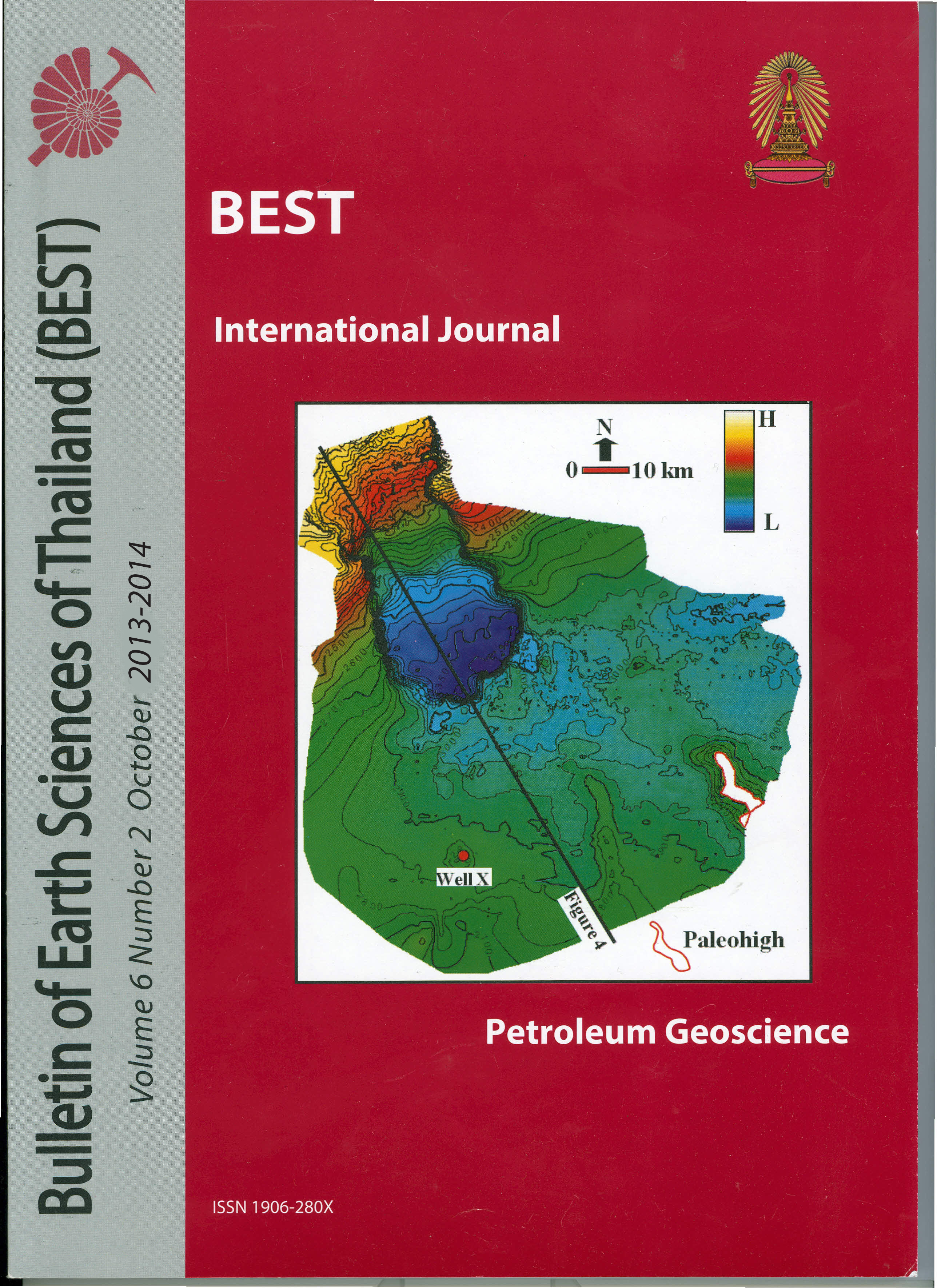
Mapping of Middle Miocene Reservoir Sands and Subtle Faults to Understand Reservoir Compartmentalization in Erawan Field of Pattani Basin, Gulf of Thailand
Article Sidebar
Main Article Content
Abstract
Erawan field is one of the oldest hydrocarbon producing fields of the Pattani basin within the Gulf of Thailand. Reservoirs in this field are Middle Miocene fluvial sands. These sands are crosscut by set of faults, which are oblique to regional northsouth oriented faults. These faults are difficult to map on conventional full spectrum seismic data. The purpose of this study is to map these subtle faults and sand distribution in the area. I integrated various geophysical attributes and techniques such as RMS, semblance, post-stack inversion and spectral decomposition to map faults and sand distribution. Time slices of iso-frequency volumes in the range of 24-28
Hz shows NW-SE and SW-NE oriented discontinuities. Similar discontinuities were also observed on semblance horizon slices. These are oblique to the regional N-S faults and at some places, they crosscut the regional faults on map view. On filtered seismic vertical sections with band limited frequency of 20-30 Hz, they penetrate sometimes to basement. These are interpreted as faults related with graben shifts/ transfer zones. Rock physics analysis shows that acoustic impedance can discriminate high porosity sands and high gas saturated clean sands. Suitable cutoff for sand can detect sand bodies in the zone of interest. Very low acoustic impedance values are distributed along both regional and oblique faults and these may be related with gas-saturated zones. Therefore, mapping of these oblique discontinuities are critical for recognition of reservoir compartments. The suggested workflow can reduce the exploration risk in the area.
Article Details

This work is licensed under a Creative Commons Attribution-NonCommercial-NoDerivatives 4.0 International License.
Copyright © 2008 Department of Geology, Faculty of Science, Chulalongkorn University. Parts of an article can be photocopied or reproduced without prior written permission from the author(s), but due acknowledgments should be stated or cited accordingly.
References
Crossley, A.R., 1990. The Geology and hydrocarbon potential of the Pattani basin. Gulf of Thailand, unpublished research, Unocal Thailand, 5-64.
Jardine, E., 1997. Dual petroleum systems governing the prolific Pattani Basin, offshore Thailand. Petroleum systems of S.E. Asia and Australasia Conference, Jakarta, May 21-23, 1997, p. 351-363.
Kornsawan, A., and C. K. Morley, 2002, The origin and evolution of complex transfer zones (graben shifts) in conjugate fault systems around the Funan Field, Pattani Basin, Gulf of Thailand: Journal of Structural Geology, v. 24,p. 435-449.
Morley, C. K., C. Haranya, W. Phoosongsee, S. Pongwapee, A. Kornsawan, and N. Wonganan, 2004, Activation of rift oblique and rift parallel pre-existing fabrics during extension and their effect on deformation style: examples from the rifts of Thailand: Journal of Structural Geology, v. 26, p. 1803-1829.
Morley, C. K., and A. Racey, 2011, Tertiary stratigraphy, in M. F. Ridd, A. J. Barber, and M. J. Crow, The Geology of Thailand: London, Geological Society, p.223-272.
Partyka, G.A., Gridly, J.M., and Lopez, J. 1999, International Applications of Special Decomposition in Reservoir Characterization, The Leading Edge, vol. 18, No. 3, p.353-360.
Watcharanantakul, R., and Morley, C. K., 2000. Syn-rift and post-rift modeling of the Pattani Basin, Thailand: evidence for a ramp-flat detachment. Marine and Petroleum Geology, v.17, p. 937-958.
