
SAND DISTRIBUTION AND RESERVOIR CHARACTERISTICS NORTH JAMJUREE FIELD, PATTANI BASIN, GULF OF THAILAND
Article Sidebar
Main Article Content
Abstract
North Jamjuree field suffers from a problem of high pay counts but with less than expected recoveries, compared to other platforms that are located along similar structures and focused on similar reservoirs. The
key is that reservoirs are fluvial sands that, due to their stratigraphic complexity, result in varying degrees of interconnection both vertically and laterally and hence higher uncertainties in reserve estimation between
platforms. This study attempts to better understand and predict geometries of sand distribution, in order to reduce the high uncertainty in reserve estimation and better predict production volumes. It uses an
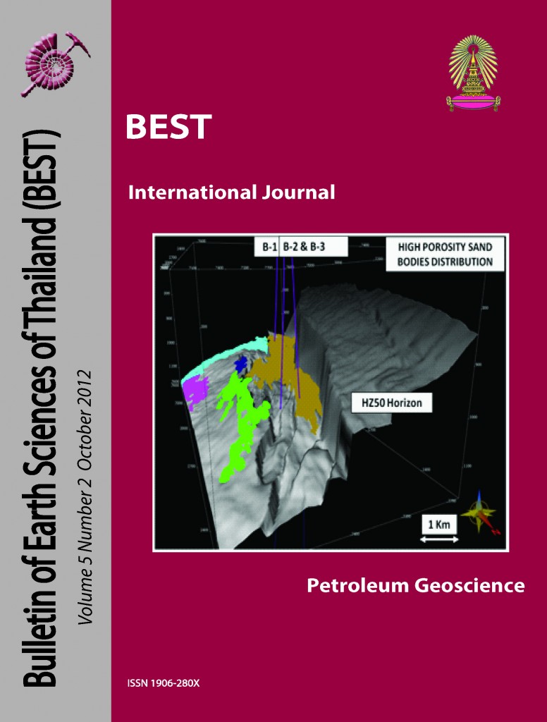
integration of regional stratigraphy, wireline logs and seismic data, combined with a set of newly constructed structure map and sand distribution maps. This gives an improved understanding of the
geological model of the reservoir. Wireline correlation shows the main trend of sand is a near north-south set of variable thickness fluvial sand masses, which are seen in the structure overlay sand distribution maps
and sands mapped using seismic attributes. Results of this new seismic-based analysis in MMIO-T4 section now show a broad meander belt with high gross sand, but less pay because of low net to gross effect, due to
poor sealing capacity of the faults. In contrast, theT4-T3 and below-T3 sections are made up of very high gross sand intervals deposited in narrow channel belts, with net pay values that are better than in the
MMIO-T4 section. This is because these intervals are thicker and net to gross is lower, a combination that means better sealing potential across faults. These new findings can be used for future well planning and
improved forecasting production of profiles. It also indicates a new area of interest in what appear to be untapped reservoir sands in the southwest portion of the study area.
Article Details

This work is licensed under a Creative Commons Attribution-NonCommercial-NoDerivatives 4.0 International License.
Copyright © 2008 Department of Geology, Faculty of Science, Chulalongkorn University. Parts of an article can be photocopied or reproduced without prior written permission from the author(s), but due acknowledgments should be stated or cited accordingly.
References
Jardine, E., 1997. Dual petroleum systems governing the prolific Pattani Basin, offshore Thailand. Petroleum systems of S.E. Asia and Australasia Conference, Jakarta, May 21-23, 1997, p. 351-363.
Lian, H., and Bradley K., 1986, Exploration and Development of Natural Gas, Pattani Basin, Gulf of Thailand: The Fourth Circum-Pacific Energy and Mineral Resources Conference, 1986, p.69-75.
Ridd, M.F., Barber, A.J., and Crow, M.J. 2011. The geology of Thailand. The Geological Society of London, p. 244-248.
Watcharanantakul, R., & Morley, C. K., 2000. Syn-rift and Post-rift Modeling of the Pattani Basin, Thailand: evidence for a ramp-flat detachment. Marine and Petroleum Geology, v.17, p. 937-958.
