
Morphotectonic Indices of the Mae Ping Fault Zone, Northwestern Thailand
Article Sidebar
Main Article Content
Abstract
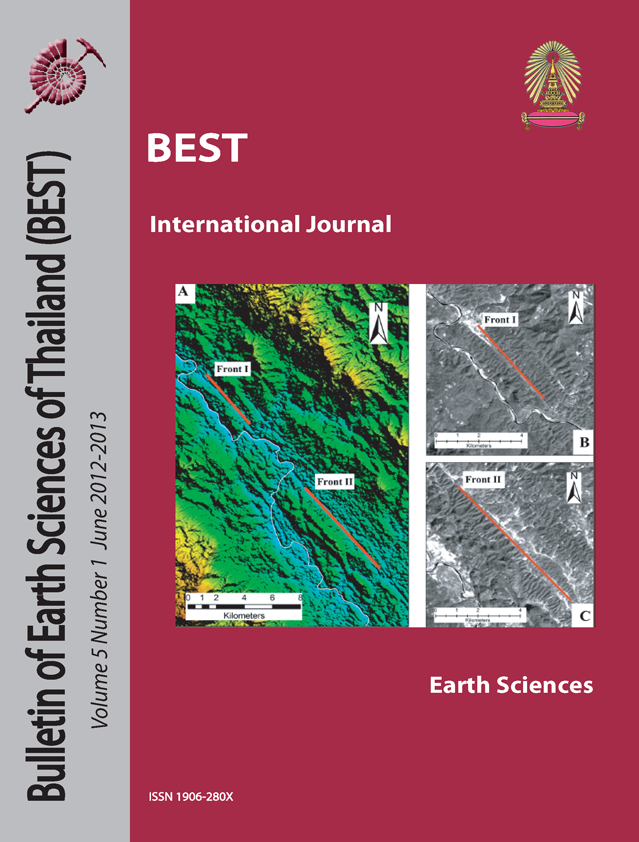
The Mae Ping fault zone trends NW-SE across northwestern Thailand into Myanmar has sinistral strike-slip movement where estimated 500 km long. This fault zone first occurred in late Cretaceous and has been developed until now. Digital Elevation Data and satellite images were used to identify lineaments and fault. Morphotectonic analysis was used in order to better understand uplift, exhumation and erosion of the Mae Ping fault zone. Geomorphic indices were generally used to define tectonic active zone. Mountain front sinuosity index and Valley floor width to height ratio were selected. Most evidences show that the Mae Ping fault zone high tectonic activities until present. The active regions are identify by low values of mountain front sinuosity and valley floor width to height ratio are supported the concept that mountain topography is extremely impacted by active tectonics along the fault zone. This study result indicated that southern part of the Mae Ping fault zone is high tectonic activities.
Article Details

This work is licensed under a Creative Commons Attribution-NonCommercial-NoDerivatives 4.0 International License.
Copyright © 2008 Department of Geology, Faculty of Science, Chulalongkorn University. Parts of an article can be photocopied or reproduced without prior written permission from the author(s), but due acknowledgments should be stated or cited accordingly.
References
Bhatt, C.M., Chopra R., and Sharma, P.K., 2007. Morphotectonic analysis in Anandpur Sahib area, Punjab (India) using remote sensing and GIS approach. Journal of the Indian Society of Remote Sensing, v. 35, No. 2, p. 129-139.
Biswas, S. and Grasemann, B., 2005. Quantitative morphotectonics of the southern Shillong Plateau (Bangladesh/India). Austrian Journal of Earth Sciences. v. 97, p. 82-93.
Bull, W.B. 1977. Tectonic Geomorphology of the Mojave Desert. U.S. Geological Survey Contract Report 14-08-001-G394, Office of Earthquakes, Volcanoes, and Engineering, Melano Park, CA, 188pp.
Bull, W.B. and MC. Fadden, L.M., 1977. Tectonic geomorphology north and south of the Garlock Fault, California. Journal of Geomorphology. v.1, p. 1532.
Keller, E.A., Pinter, N., 1996. Active Tectonics: Earthquake, Uplift, and Landscape. Prentice Hall, Upper Saddle River, NJ. 338 pp.
Lacassin, R., Leloup, P. H. & Tapponnier, P. 1993. Bounds on strain in large Tertiary shear zones of SE Asia from boudinage restoration. Journal of Structural Geology, 15, 677–692.
Lacassin, R. et al., 1997. Tertiary diachronic extrusion and deformation of western Indochina: Structural and 40Ar/39Ar evidence from NW Thailand. Journal of Geophysical Research. v.102. p. 10,013-10,037.
Leloup, P. H., Arnaud, N. ET AL. 2001. New constraints on the structure, thermochronology and timing of the Ailao Shan–Red River shear zone, SE Asia. Journal of Geophysical Research, 106, 6683–6732.
Morley, C. K. 2002. A tectonic model for the Tertiary evolution of strike-slip faults and rift basins in SE Asia. Tectonophysics, 347, 189–215.
Morley, C.K., Smith, M., Carter, A., Charusiri, P., and Chantraprasert, S., 2007. Evolution of deformation styles at a major restraining bend, constraints from cooling histories, Mae Ping fault zone,western Thailand. Geological Society, London, Special Publications.v. 290; p. 325-349.
Rhea, S. (1993). Geomorphic observations of rivers in the Oregon Coast Range from a regional reconnaissance perspective. Geomorphology, 6, 135– 150.
